DroneDeploy Aerial
Input—per 1M tokens
Output—per 1M tokens
Context—tokens
WeightsClosed
About
DroneDeploy Aerial is ranked #61 of 62 in GIS software on Inferse. It runs on Web, iOS, Android. There is no free plan.
Compared on GIS software
- Free plan
- Nodronedeploy.com
Company
- Headquarters
- San Francisco, California, United Statesdronedeploy.com · 28 Sept 2026
Best DroneDeploy Aerial alternatives
See all 12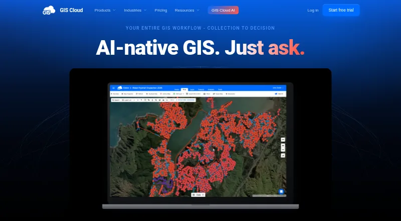 7.4 GIS Cloud $5/mo first paid tier Free plan
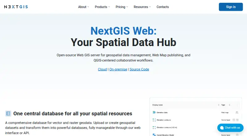 7.4 NextGIS Web €15/mo first paid tier Free plan
 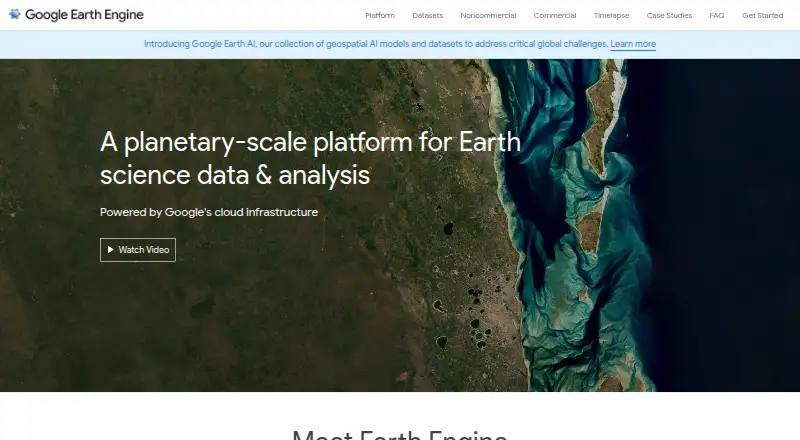 7.3 Google Earth Engine $0.40/mo first paid tier Free plan
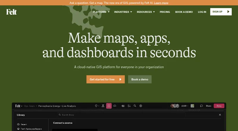 7.2 Felt Free free plan, no paid price published Free plan
 7.2 GRASS GIS Free free plan, no paid price published Free plan 6.8 Precisely EnterWorks See plans price on the maker's page
Where it ranks on Inferse
- Best GIS Software in 2026#61 of 62
- Best Photogrammetry Software in 2026#29 of 33
Sources
- dronedeploy.com/product/dronedeploy-aerial· checked 28 Sept 2026