GIS Cloud
About
GIS Cloud provides web and mobile applications for creating maps, collecting data, and sharing maps privately, with collaborators, or publicly. Map Editor handles vector and raster formats, layers, basemaps, and drawing points, lines, and polygons. Its listed data sources include WMS, WFS, WMTS, PostgreSQL, Oracle, Excel, CSV, Bing, OpenStreetMap, and Mapbox. Mobile Data Collection uses custom forms to gather point, line, and polygon data on Android and iOS, online or offline. Offline records remain on the device and sync automatically when the connection returns. QGIS and ArcMap publisher plugins, REST and JavaScript APIs, and AI Form Fill provide additional ways to connect and work with the platform. AI Form Fill can suggest form values from photos or voice, and users can review, edit, or revert suggestions before saving. Data is hosted on AWS in the US by default, with EU and Australia regions and on-premises deployment available. GIS Cloud has a free plan; listed paid options include Track at 5.00 USD per month and Map Editor at 75.00 USD per month billed annually.
Who it is for
GIS Cloud suits teams collecting field data and managing shared maps, including organizations working in utilities, telecommunications, roadworks, retail, smart cities, and natural resources. Its plugins and APIs also suit teams connecting GIS workflows or building GIS-enabled web applications.
What is good
- Map Editor supports vector and raster formats
- Field collection works online and offline
- Offline data syncs when devices reconnect
- REST and JavaScript APIs available
- EU, Australia, and on-premises deployment options
What to know first
- Geocoder is in beta
- Geocoder is limited to beta customers
- Map Editor is 75.00 USD per month billed annually
Inferse review
GIS Cloud: the full review
GIS Cloud brings map editing, offline field collection, and integration options into one platform. Its data region choices include EU and Australia hosting, while Geocoder remains limited to beta customers.
Overview
GIS Cloud combines browser-based mapping and mobile field-data collection with tools for sharing maps and connecting GIS workflows to other software. It is a strong fit for operational teams that need field capture and map editing in one service, but its separate, organization-capped plans call for careful sizing.
Key features
Mapping and data connections
Map Editor handles vector and raster formats, multiple layers and basemaps, and drawing points, lines, and polygons. It connects to WMS, WFS, WMTS, PostgreSQL, Oracle, Excel, CSV, Bing, OpenStreetMap, and Mapbox. That range gives teams options for bringing spatial and business data into mapping workflows; the 200,000-feature vector storage cap on the paid Map Editor plan is a key constraint for larger datasets.
Field collection
Mobile Data Collection supports custom forms for points, lines, and polygons on Android and iOS, both online and offline. Offline data stays on the device and syncs automatically when connectivity returns, which suits field crews working beyond reliable coverage. The plan includes unlimited projects and forms, but limits storage to 10,000 vector features and 1 GB of media per organization.
Sharing, tracking, and integration
Maps can be kept private, shared with collaborators, or made public. Map Viewer provides private access to shared maps and data, while Map Portal adds custom branding, a custom domain, a no-code app builder, and 50,000 public map views. Track focuses on asset location, reports, playback history, geofences, and alerts. QGIS and ArcMap publisher plugins, along with REST and JavaScript APIs, provide routes into existing GIS workflows and custom web applications.
AI and data handling
AI Form Fill can suggest form values from photos or voice; users can review, edit, or revert suggestions before saving. GIS Cloud says it does not train models on customer data and that Anthropic is contractually barred from doing so. It says it has been ISO 27001 certified since November 2025 and encrypts data in transit, with role-based permissions. AWS hosting defaults to the US; EU and Australia regions and on-premises deployment are options. Geocoder remains in beta and is limited to beta customers.
Pricing
GIS Cloud has a free plan and a 14-day trial, with paid plans from $5/mo. The product plans below show billed terms where provided; the annual prices should be compared against each team's storage and access needs, not just the headline amount.
- Publisher plugins: custom pricing. Includes Publisher for QGIS, Publisher for ArcMap, and preserved symbology. A focused option for teams publishing from those desktop tools.
- Track: 5.00 USD per month, per asset. Includes real-time location and reports, historical playback, geofences, and alerts. Its per-asset pricing suits asset monitoring, but costs scale with the number of tracked assets.
- Map Viewer: 12.00 USD per month, billed annually. Includes private access to shared maps and data, custom branding, mobile and web apps, and plain-language map questions. It fits map audiences that need access without the editing capacity of Map Editor.
- Mobile Data Collection: 25.00 USD per month, billed annually. Includes unlimited projects and survey forms, 10,000 vector features and 1 GB media storage per organization, AI Form Fill, and Map Viewer access. It is the fieldwork tier, with organization-level storage caps to consider.
- Map Editor: 75.00 USD per month, billed annually. Includes 200,000 vector features and 1 GB other storage per organization, WFS and WMS access, Ask AI, and Map Viewer access. It adds editing and data access, but the storage limits may not suit organizations with larger collections.
- Map Portal: 79.00 USD per month, billed annually. Includes custom domain and branding, 50,000 public map views, and a no-code app builder. It suits public-facing map delivery within that view allowance.
- On-premises & Crowdsourcing: custom pricing, billed on demand. Includes firewall or on-premises installation, an ISO 27001 security review, and a crowdsourcing solution.
The lower-cost plans narrow the job they cover: Track is asset-focused, Map Viewer is for access and sharing, and Mobile Data Collection prioritizes capture over the fuller editing allowance. The stated free-plan caps and renewal terms are not established here, so teams should confirm them before choosing a free or annual commitment.
Platforms
GIS Cloud supports web, Android, iOS, APIs, and self-hosted deployment. The combination covers mobile field teams, browser-based map users, and integration work; on-premises deployment is an option rather than the default cloud setup.
Who it's for
The product is aimed at organizations managing water and pipelines, electric utilities, telecommunications, roadworks, tree inventories and inspections, retail, smart cities, natural resources, and public city maps. It is particularly relevant when the same program needs map preparation, structured field collection, and sharing. Teams mainly seeking a desktop GIS or a single-purpose form tool may find the broader platform and plan structure unnecessary.
Pros and cons
- Offline collection syncs automatically: useful for field teams that cannot count on continuous connectivity.
- Broad source and integration support: connections, plugins, and APIs give teams several ways to work with existing GIS and business data.
- Storage and view ceilings matter: feature, media, and public-view allowances can constrain organizations with heavier usage.
- Geocoder access is restricted: the beta-only availability makes it unsuitable as a generally available geocoding dependency.
Alternatives
Consider NextGIS Web if a self-hosted, Linux-compatible GIS platform with annual EUR plans is a better fit; its Mini plan is 180.00 EUR per year for one user, 10 GiB storage, unlimited layers, one tracker, and one collector. Google Earth Engine is worth comparing when API and Linux support with usage-based storage and compute charges better match the workload. Choose Felt for a free Personal plan with unlimited maps and sharing, accepting that it does not allow own data file uploads and is for personal use only. GRASS GIS is the free, open-source alternative for teams seeking software under GPL (>=v2), with no warranty. Precisely EnterWorks is another paid API and web option. CARTO is an alternative for teams considering a paid enterprise platform with cloud SaaS or self-hosting. eSpatial is an alternative when its Mapping Pro plan's 499.00 USD per year price, three-user minimum, and included geocoding and import allowances fit. QGIS is the free and open-source option for teams needing desktop GIS across supported platforms.
Browse GIS Software or Mobile Forms Software for more options.
Verdict
GIS Cloud is a good choice for operations and field teams that need map editing, offline collection, and sharing under one roof, with multiple integration paths and deployment options. Its main appeal is the joined workflow; teams should look elsewhere if their required storage exceeds the plan caps or they need Geocoder beyond beta access.
Compared on GIS software
- Free plan
- Yesgiscloud.com
- Deployment
- cloudgiscloud.com
- Spatial analysis
- advancedgiscloud.com
- Web mapping
- Yesgiscloud.com
- Dashboard builder
- Yesgiscloud.com
- Raster data support
- Yesgiscloud.com
- Mobile apps
- Yesgiscloud.com
Facts
- Purpose
- GIS Cloud provides web and mobile apps for managing and collecting data, with maps that teams can share privately, with collaborators, or publicly.giscloud.com · 28 Sept 2026
- Mapping
- Map Editor supports vector and raster formats, multiple layers and basemaps, and drawing points, lines, and polygons.giscloud.com · 28 Sept 2026
- Data sources
- Map Editor lists WMS, WFS, WMTS, PostgreSQL, Oracle, Excel, CSV, Bing, OpenStreetMap, and Mapbox among supported data sources.giscloud.com · 28 Sept 2026
- Field collection
- Mobile Data Collection supports custom forms and collection of points, lines, and polygons online or offline on Android and iOS.giscloud.com · 28 Sept 2026
- Offline sync
- Offline collections are stored on the device and sync automatically when the device is back online.giscloud.com · 28 Sept 2026
- Integrations
- GIS Cloud offers QGIS and ArcMap publisher plugins, plus REST and JavaScript APIs for connecting to the platform or building GIS-enabled web applications.manual.giscloud.com · 28 Sept 2026
- AI features
- AI Form Fill can suggest form values from photos or voice, and users can review, edit, or revert suggestions before saving.giscloud.com · 28 Sept 2026
- Security
- GIS Cloud says it has been ISO 27001 certified since November 2025 and encrypts data in transit with role-based permissions.giscloud.com · 28 Sept 2026
- Data residency
- Data is hosted on AWS in the US by default, with EU and Australia regions and on-premises deployment available as options.giscloud.com · 28 Sept 2026
- AI privacy
- GIS Cloud says it does not train models on customer data and that its AI provider Anthropic is contractually prohibited from doing so.giscloud.com · 28 Sept 2026
- Support
- GIS Cloud says its solution consultants reply to demo, question, or project inquiries within one business day.giscloud.com · 28 Sept 2026
- Geocoder limit
- GIS Cloud Geocoder is in beta and available only to beta customers.manual.giscloud.com · 28 Sept 2026
- Audience
- GIS Cloud describes solutions for water and pipeline management, electric utilities, telecommunications, roadworks, tree inventory and inspection, retail, smart cities, natural resources, and public city maps.giscloud.com · 28 Sept 2026
Company
- Founded
- 2007giscloud.com · 28 Sept 2026
- Headquarters
- Zagreb, Croatiagiscloud.com · 28 Sept 2026
Best GIS Cloud alternatives
See all 12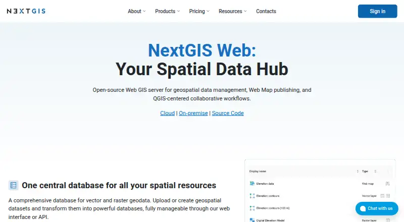 7.4 NextGIS Web €15/mo first paid tier Free plan
 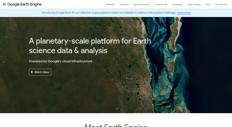 7.3 Google Earth Engine $0.40/mo first paid tier Free plan
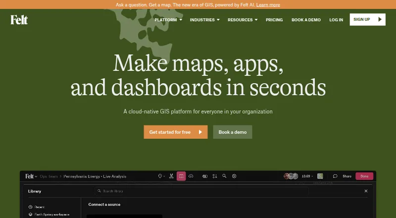 7.2 Felt Free free plan, no paid price published Free plan
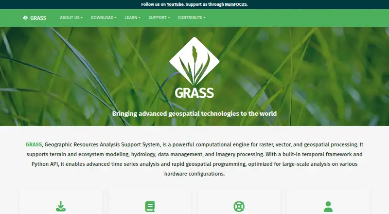 7.2 GRASS GIS Free free plan, no paid price published Free plan
 6.9 SuperMap GIS See plans price on the maker's page Free trial 6.8 Precisely EnterWorks See plans price on the maker's page
Where it ranks on Inferse
- Best GIS Software in 2026#1 of 62
- Best Mobile Forms Software in 2026#5 of 50
Sources
- giscloud.com/about-us/· checked 28 Sept 2026
- giscloud.com/apps/map-editor/· checked 28 Sept 2026
- giscloud.com/apps/mobile-data-collection/· checked 28 Sept 2026
- manual.giscloud.com/knowledge-base/gis-cloud-apps/· checked 28 Sept 2026
- giscloud.com/security/· checked 28 Sept 2026
- giscloud.com/contact/· checked 28 Sept 2026
- giscloud.com· checked 28 Sept 2026
- giscloud.com/pricing/· checked 20 Sept 2026