R2V
ablesoftware.com · checked 9 Oct 2026
How it plugs in
—Public API
NoOpen source
TrialFree tier
Signal on Image Vectorization Software5.5#23 of 26
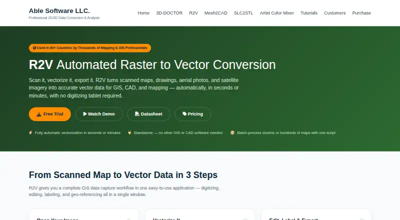
R2V converts scanned maps, drawings, aerial photos, and satellite imagery into vector data for GIS, CAD, and mapping.
Pricing
- Single UserOne-time payment · One named user · One year updates · Email support$395 one-time
- 2-User PackOne-time payment · Two named users · One year updates · Priority support$595 one-time
- Site LicenseQuote · Unlimited users at one site · Three year updates · Premium supportOn request
As ablesoftware.com lists them, checked 9 Oct 2026.
Near it
All alternatives →- BLBunting Labs AI Vectorizer#22 on this board
- VVextractor#24 on this board
- SScan2CAD#21 on this board
- SVSuper Vectorizer Pro#25 on this board
- RTRaster to Vector#20 on this board
- IVImage Vectorizer#26 on this board
- FEFront-End SVGConverter#19 on this board
- AV
 AI Vectorizer#18 on this board
- PPathSmith#17 on this board
- AC
 Adobe Capture#16 on this board