TalkingMaps review: Open-source interactive story maps
talkingmaps.eu · checked 8 Oct 2026
Build map-centered stories with media, charts, timelines, and geospatial data.
How it plugs in
Signal on Data Storytelling Tools6.4#4 of 22
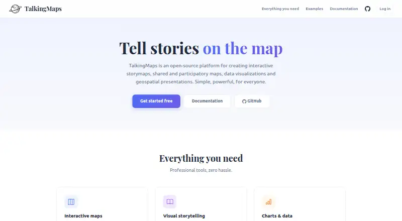
TalkingMaps is open-source software for making interactive stories anchored to maps. A story can pair a 2D map or 3D globe with writing, photos, video, audio, charts, dashboards, timelines, and geospatial layers. Its documented audience includes journalists, researchers, educators, planners, and others who tell stories through maps.
Review
In a line
TalkingMaps lets you create interactive, map-centered stories. The web application can be deployed on Windows, macOS, or Linux through Docker.
What it does
You can build stories with interactive 2D maps, a 3D globe, text, multimedia, charts, KPI dashboards, and timelines. The editor provides 11 slide layouts, among them full-map, navigable-image, and point-cloud options.
Stories can use narrative annotations and a presentation flow. Registered users may add locations with text, photos, video, or audio; the story owner or an administrator can moderate those contributions.
The assistant can produce text, translations, chart configurations, and images with OpenAI, Anthropic Claude, or Google Gemini.
How it connects
Layer sources include GeoJSON, Shapefile, GeoPackage, WMS, WFS, WMTS, XYZ tiles, vector tiles, Cloud Optimized GeoTIFF, and 3D Tiles. MapLibre GL JS renders 2D views, while CesiumJS powers the globe.
You can save and reuse GeoServer, QGIS Server, MapServer, and other OGC-compliant service endpoints in a service catalog. Stories can also include Chart.js charts and interactive timelines from TimelineJS.
The project documents an auto-generated REST API. Its code is licensed under GNU General Public License v3.0. Documentation says AI provider keys are encrypted and stored per user.
Published stories can be public, shared with private links, or embedded in another site with an iframe. Account and story roles include administrators, editors, and viewers, including read-only viewers.
Good fit
The documentation positions TalkingMaps for journalists, researchers, educators, planners, and anyone explaining a subject through location. It fits projects that combine map layers with narrative, media, charts, or timelines.
It is also useful for participatory maps, where registered users submit geolocated material for moderation.
Watch for
Self-hosting requires Docker. Installation guidance covers Docker Desktop on Windows or Mac, and Docker Engine with Compose on Linux.
The documented defaults limit general file uploads to 50 MB, participatory attachments to 10 MB, and each user's storage to 1024 MB. Administrators can configure the upload and attachment limits.
Review the deployment requirements and storage defaults before choosing a setup.
Pricing
TalkingMaps is free and open-source software. A free plan is available, and the software is intended for self-hosting with Docker.
Verdict
Choose TalkingMaps if you want control over deployment and data while producing map-led stories with media, charts, timelines, or audience contributions. Its broad geospatial format support and service catalog suit teams working with existing GIS systems.
It may not suit teams looking for a hosted service with no setup, or projects whose files regularly exceed the documented default limits. Plan for Docker administration and storage management.
Our take
TalkingMaps offers open-source software for publishing map-centered narratives on your own infrastructure. It covers 2D and 3D mapping, many GIS data formats, charts, timelines, media, moderation, and several sharing modes. The trade-off is operational: you must run it with Docker and manage storage limits. Teams needing a ready-made hosted product may prefer a different approach, while GIS-aware groups and public-interest projects can benefit from its control and flexibility.
- Free, open-source software
- Provides both 2D mapping and a 3D globe
- Accepts many GIS layer formats and services
- Includes charts, dashboards, timelines, and media
- Supports public stories, private links, and iframe embedding
- Docker-based self-hosting is required
- The default general upload limit is 50 MB
- Participatory attachments default to 10 MB
- Per-user storage defaults to 1024 MB
- Pick it ifJournalists, researchers, educators, and planners; Teams building map-based stories with audience contributions; Organizations that can run Docker and manage GIS services
- Skip it ifYou need a hosted product with no server administration; Your project regularly exceeds the documented upload or storage defaults
Pricing
TalkingMaps is free and open-source software with a free plan. You host it yourself using Docker, so infrastructure remains your responsibility.
Questions
Is TalkingMaps free?
Yes. TalkingMaps is free, open-source software with a free plan.
Where can TalkingMaps run?
The web application can be self-hosted with Docker on Windows, macOS, or Linux. An API is also documented.
What map data can it use?
Supported sources include GeoJSON, Shapefile, GeoPackage, WMS, WFS, WMTS, XYZ tiles, vector tiles, Cloud Optimized GeoTIFF, and 3D Tiles.
Can users contribute to a map?
Registered users can submit geolocated text, photos, video, or audio. The story owner or an administrator can moderate submissions.
Which AI services connect to TalkingMaps?
The AI assistant supports OpenAI, Anthropic Claude, and Google Gemini for text, translations, chart configurations, and images. Keys are encrypted per user.
What sharing options are available?
Stories can be public, shared through private links, or embedded in another website with an iframe.
What are the default file limits?
The default maximum upload is 50 MB, participatory attachments default to 10 MB, and per-user storage defaults to 1024 MB. Administrators can change the upload limits.