
PhotoMesh
skylinesoft.com · checked 9 Oct 2026
How it plugs in
—Public API
NoOpen source
TrialFree tier
Signal on Photogrammetry Software5.5#23 of 34
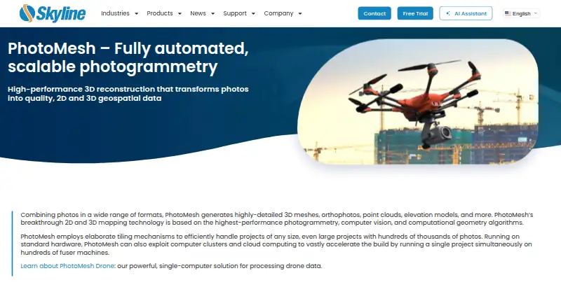
PhotoMesh turns photos into 2D and 3D geospatial data, including detailed 3D meshes, orthophotos, point clouds, and elevation models.
Pricing
- PhotoMesh Cloud ProcessingSkyline-managed AWS cloud service · pay per input image gigapixels · unlimited LiDAR input, managers, and fusersOn request
- PhotoMesh Drone1 manager · up to 10 fusers on one machine · unlimited input image gigapixels and LiDAR layers per projectOn request
- PhotoMesh Fusers1 manager · 3–50 fusers on multiple machines, depending on package · unlimited input image gigapixels and LiDAR layers per projectOn request
- PhotoMesh GXPay per input image gigapixels · unlimited LiDAR input · up to 6 managers depending on package · unlimited fusersOn request
As support.skylinesoft.com lists them, checked 9 Oct 2026.
Near it
All alternatives →- C
 Correlator3D#22 on this board
- PPHOTOMOD#24 on this board
- DADroneDeploy Aerial#21 on this board
- PPhotoModeler#25 on this board
- PPPropeller Platform#20 on this board
- TITrimble Inpho#26 on this board
- PProximap#19 on this board
- DT
 DJI Terra#27 on this board
- P
 PhotoCatch#18 on this board
- ICiTwin Capture Modeler#28 on this board