
How it plugs in
—Public API
NoOpen source
YesFree tier
Signal on Point Cloud Software6.1#4 of 24
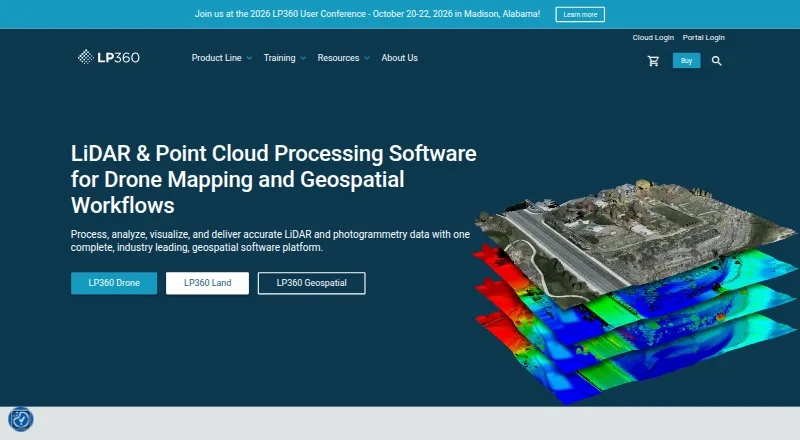
LP360 Drone processes, analyzes, and creates deliverables from drone LiDAR and imagery data.
Pricing
- DJI L1/L2 Cloud batch processingusd 620 / year · Requires LP360 Drone · 20 flights per month · 1 user included$620/yr
- Cloud Collaborateusd 930 / year · Requires LP360 Drone · 200GB storage · 1 user · streaming up to 50GB/month$930/yr
- 3D Accuracyusd 1,115 / year · Requires LP360 Drone$1,115/yr
- AI Ground Classificationusd 1,360 / year · Requires LP360 Drone · 5 regular jobs per month (0–10GB project) · 1 user included$1,360/yr
- Strip Align for Droneusd 1,675 / year · Requires LP360 Drone$1,675/yr
- LP360 Drone$1,675 usd / year · one-device floating license · project size limited to 10km²$1,675/yr
- 3D Photo Engineusd 2,475 / year · Requires LP360 Drone$2,475/yr
- AI Ground+ Classificationusd 2,640 / year · Requires LP360 Drone · 5 regular jobs per month (0–10GB project) · 1 user included · standalone AI Ground Classification not included$2,640/yr
As lp360.com lists them, checked 29 Sept 2026.
Near it
All alternatives →- L
 LidarView#3 on this board
- WWhiteboxTools#5 on this board
- PCPoint Cloud Library#2 on this board
- LCLeica Cyclone 3DR#6 on this board
- O
 Open3D#1 on this board
- EEntwine#7 on this board
- GM
 Global Mapper#8 on this board
- PPointly#9 on this board
- POPointCab Origins#10 on this board
- TTTerrasolid TerraScan#11 on this board