How it plugs in
—Public API
NoOpen source
YesFree tier
Signal on Point Cloud Software6.1#5 of 24
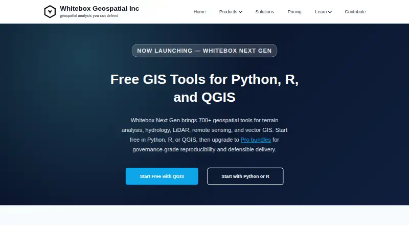
Whitebox provides geospatial tools for terrain analysis, hydrology, LiDAR, remote sensing, and vector GIS.
Pricing
- Whitebox Open Core (Python, R, QGIS)Free/open tools; 700+ tools; Python, R, or QGISFree
- LiDAR & Forest Analytics — Entryper user, per year · Annual subscription; Entry tier; per-user license$740/yr
- Environmental Risk & Compliance — Entryper user, per year · Annual subscription; Entry tier; per-user license$890/yr
- Network Planning & Operations — Entryper user, per year · Annual subscription; Entry tier; per-user license$995/yr
- LiDAR & Forest Analytics — Standardper user, per year · Annual subscription; Standard tier; per-user or small team packs$1,270/yr
- Environmental Risk & Compliance — Standardper user, per year · Annual subscription; Standard tier; per-user or small team packs$1,490/yr
- Network Planning & Operations — Standardper user, per year · Annual subscription; Standard tier; per-user or small team packs$1,795/yr
- Environmental Risk & Compliance — Enterprisecustom · Enterprise tier; custom pricingOn request
As whiteboxgeo.com lists them, checked 3 Oct 2026.