OpenDroneMap
opendronemap.org · checked 1 Oct 2026
How it plugs in
—Public API
NoOpen source
YesFree tier
Signal on Drone Mapping Software6.3#3 of 23
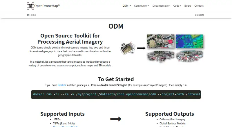
ODM turns point-and-shoot camera images into two- and three-dimensional geographic data and georeferenced maps and 3D models.
Pricing
- Standard1 Year Installation Support · Per-User License · Updates Included · 30 Days Money-Back Guarantee$64 one-time
- Business1 Year Priority Installation Support · Per-User License · Updates Included · 30 Days Money-Back Guarantee$149 one-time
As opendronemap.org lists them, checked 1 Oct 2026.
Near it
All alternatives →- MMicMac#2 on this board
- PPIX4Dcatch#4 on this board
- W
 WebODM#1 on this board
- AMAgisoft Metashape#5 on this board
- 3Z
 3DF Zephyr#6 on this board
- PPPropeller Platform#7 on this board
- DADroneDeploy Aerial#8 on this board
- C
 Correlator3D#9 on this board
- HMHammer Missions#10 on this board
- PPhotoModeler#11 on this board