
WebODM
webodm.org · checked 15 Oct 2026
How it plugs in
YesPublic API
YesOpen source
YesFree tier
Signal on Photogrammetry Software7.7#1 of 34
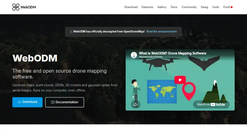
WebODM converts aerial photographs or videos into georeferenced orthophotos, elevation models, point clouds, textured 3D models and Gaussian splats.
Pricing
- WebODM100% free to install and use · runs locally and offlineFree
- StarterBilled Yearly · 12 maps per 30 days, then pay per map · up to 1,500 images per map · max 1 concurrent task · 25 GB cloud storage$24/mo
- ProBilled Yearly · unlimited maps · up to 1,500 images per map · max 2 concurrent tasks · 100 GB cloud storage$35/mo
- BusinessBilled Yearly · unlimited maps · up to 3,000 images per map · max 4 concurrent tasks · 1,000 GB cloud storage$99/mo
- Pay As You Gopay per map · up to 1,500 images per map · max 30 concurrent tasks · temporary cloud storageOn request
As webodm.org lists them, checked 15 Oct 2026.