OpenReco
abhibagul.github.io · checked 15 Oct 2026
How it plugs in
—Public API
YesOpen source
YesFree tier
Signal on Photogrammetry Software7.7#2 of 34
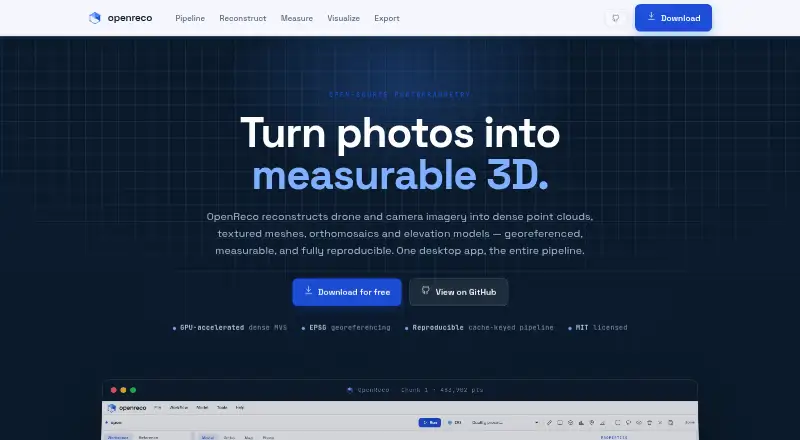
OpenReco converts drone or camera photographs into georeferenced dense point clouds, textured meshes, orthomosaics and elevation models.
Pricing
- FreeNo account · no subscription · Windows, macOS and Linux downloadsFree
As abhibagul.github.io lists them, checked 15 Oct 2026.