NASA WorldWind
worldwind.arc.nasa.gov · checked 15 Oct 2026
How it plugs in
—Public API
YesOpen source
YesFree tier
Signal on GIS Software7.7#1 of 64
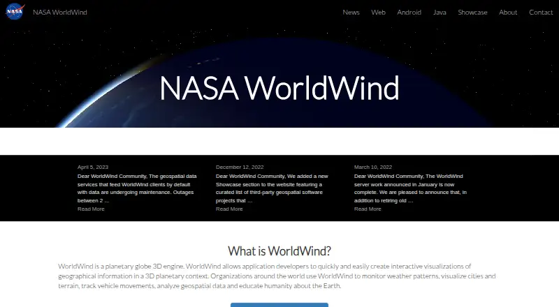
NASA WorldWind is a virtual globe and geospatial visualization platform for exploring and displaying geographic information in 3D and 2D.
Pricing
- Freefree to download · open-source SDKsFree
- NASA WorldWindOpen-source SDK and APIs · free run-time and development license · unencumbered use on any number of devicesFree
As sco.wisc.edu lists them, checked 15 Oct 2026.